 MAKO I
Current Status
Where is the vessel?
MAKO I is currently in 78 nm S of Yanam, based on AIS data received about 15h ago.
Latest AIS update:
Current position: 15.51667° N, 82.67333° E (78 nm S of Yanam)
Average speed (last 7 days): Loading…
Average speed (last 30 days): Loading…
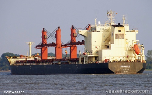
Vessel profile: MAKO I is a Bulk Carrier with dimensions m x m.
This page combines live AIS, route history, probable destination signals, nearby traffic, and port activity for practical vessel monitoring.
The current position of vessel MAKO I is 15.51667 lat / 82.67333 lng. Updated: 2026-05-22 14:35:21 UTCNearest reference points:
- Near Vishakhapatnam
- Near Wipro Sez/Resapuvanipalem
- 80 nm E of Nandiambakkam
Currently sailing under the flag of Saint Kitts and Nevis ![]()
Details:
Live Vessel MAKO I Analytics (details, animations, etc.)
Recent AIS points (UTC):
2026-05-22 12:55:49 UTC · 15.80833, 82.69167 · SOG 10 kn · COG -1°2026-05-22 12:55:49 UTC · 15.80833, 82.69167 · SOG 10 kn · COG -1°
2026-05-22 14:35:21 UTC · 15.51667, 82.67333 · SOG 10 kn · COG -1°
2026-05-22 14:35:21 UTC · 15.51667, 82.67333 · SOG 10 kn · COG -1°