 DAMIANIA
Current Status
Where is the vessel?
DAMIANIA is currently in 48 nm NW of SENZAKI, based on AIS data received about 16h ago.
Latest AIS update:
Current position: 35.06353° N, 130.71043° E (48 nm NW of SENZAKI)
Average speed (last 7 days): Loading…
Average speed (last 30 days): Loading…
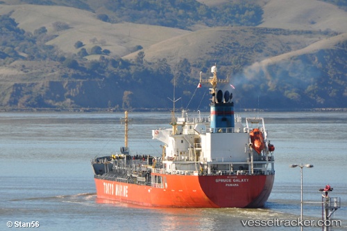
Vessel profile: DAMIANIA is a Oil/Chemical Tanker with dimensions m x m.
This page combines live AIS, route history, probable destination signals, nearby traffic, and port activity for practical vessel monitoring.
The current position of vessel DAMIANIA is 35.06353 lat / 130.71043 lng. Updated: 2026-05-21 17:56:48 UTCNearest reference points:
- 29 nm NW of Hibiki-Nada
- 30 nm NW of Hibiki-Nada
- 27 nm SE of ONSAN
Currently sailing under the flag of Panama ![]()
Details:
Live Vessel DAMIANIA Analytics (details, animations, etc.)
Recent AIS points (UTC):
2026-05-21 17:56:48 UTC · 35.06353, 130.71043 · SOG 1.6 kn · COG 116°2026-05-21 17:56:48 UTC · 35.06353, 130.71043 · SOG 1.6 kn · COG 116°
2026-05-21 17:56:48 UTC · 35.06353, 130.71043 · SOG 1.6 kn · COG 116°
2026-05-21 17:56:48 UTC · 35.06353, 130.71043 · SOG 1.6 kn · COG 116°