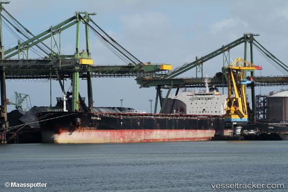
 COHIBA I
Current Status
Where is the vessel?
COHIBA I is currently in Open sea, approx. 413 nm off the nearest listed port, based on AIS data received about 15h ago.
Latest AIS update:
Current position: 2.57784° S, 7.23311° W (Open sea, approx. 413 nm off the nearest listed port)
Average speed (last 7 days): Loading…
Average speed (last 30 days): Loading…
Vessel profile: COHIBA I is a Bulk Carrier with dimensions m x m.
This page combines live AIS, route history, probable destination signals, nearby traffic, and port activity for practical vessel monitoring.
The current position of vessel COHIBA I is -2.57784 lat / -7.23311 lng. Updated: 2026-05-19 01:29:39 UTCNearest reference points:
- Open sea, approx. 413 nm off the nearest listed port
- Open sea, approx. 415 nm off the nearest listed port
- Open sea, approx. 411 nm off the nearest listed port
Currently sailing under the flag of Liberia ![]()
Details:
Live Vessel COHIBA I Analytics (details, animations, etc.)
Recent AIS points (UTC):
2026-05-18 23:09:09 UTC · -2.25600, -7.45847 · SOG 10.3 kn · COG 143°2026-05-18 23:56:08 UTC · -2.36568, -7.38231 · SOG 10.1 kn · COG 139°
2026-05-19 01:27:40 UTC · -2.57333, -7.23500 · SOG 10 kn · COG -1°
2026-05-19 01:29:39 UTC · -2.57784, -7.23311 · SOG 10.1 kn · COG 141°