 HARMONY N
Current Status
Where is the vessel?
HARMONY N is currently in 117 nm E of Gan, based on AIS data received about 14h ago.
Latest AIS update:
Current position: 0.42048° S, 75.08502° E (117 nm E of Gan)
Average speed (last 7 days): Loading…
Average speed (last 30 days): Loading…
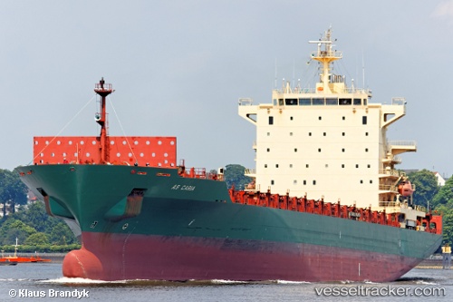
Vessel profile: HARMONY N is a Container Ship with dimensions m x m.
This page combines live AIS, route history, probable destination signals, nearby traffic, and port activity for practical vessel monitoring.
The current position of vessel HARMONY N is -0.42048 lat / 75.08502 lng. Updated: 2026-05-19 23:13:17 UTCNearest reference points:
- 146 nm E of Koodoo Fisheries
Details:
Live Vessel HARMONY N Analytics (details, animations, etc.)
Recent AIS points (UTC):
2026-05-19 19:29:18 UTC · -0.02167, 75.49963 · SOG 9.1 kn · COG 233°2026-05-19 21:22:07 UTC · -0.21455, 75.28390 · SOG 9.3 kn · COG 233°
2026-05-19 21:51:18 UTC · -0.26900, 75.23034 · SOG 9.5 kn · COG 230°
2026-05-19 23:13:17 UTC · -0.42048, 75.08502 · SOG 8.9 kn · COG 230°