 MERENGUE
Current Status
Where is the vessel?
MERENGUE is currently in Near SANTA PANAGIA, based on AIS data received about 15h ago.
Latest AIS update:
Current position: 37.11625° N, 15.26730° E (Near SANTA PANAGIA)
Average speed (last 7 days): Loading…
Average speed (last 30 days): Loading…
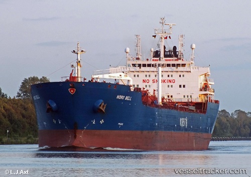
Vessel profile: MERENGUE is a Oil Products Tanker with dimensions m x m.
This page combines live AIS, route history, probable destination signals, nearby traffic, and port activity for practical vessel monitoring.
The current position of vessel MERENGUE is 37.11625 lat / 15.26730 lng. Updated: 2026-05-18 17:31:46 UTCNearest reference points:
- Near SANTA PANAGIA
- Near Pier Isab
- Near Siracusa
Currently sailing under the flag of Liberia ![]()
Details:
Live Vessel MERENGUE Analytics (details, animations, etc.)
Recent AIS points (UTC):
2026-05-18 14:15:43 UTC · 37.13790, 15.25462 · SOG 0 kn · COG 138°2026-05-18 15:54:38 UTC · 37.13815, 15.25498 · SOG 0 kn · COG 149°
2026-05-18 16:37:15 UTC · 37.13775, 15.25497 · SOG 0.2 kn · COG 172°
2026-05-18 17:31:46 UTC · 37.11625, 15.26730 · SOG 0 kn · COG 48°