 HIGHLAND
Current Status
Where is the vessel?
HIGHLAND is currently in 33 nm W of Sapiranga, based on AIS data received about 14h ago.
Latest AIS update:
Current position: 29.72618° S, 25.70075° W (33 nm W of Sapiranga)
Average speed (last 7 days): Loading…
Average speed (last 30 days): Loading…
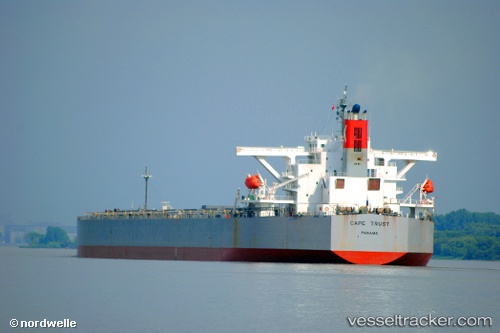
Vessel profile: HIGHLAND is a Bulk Carrier with dimensions m x m.
This page combines live AIS, route history, probable destination signals, nearby traffic, and port activity for practical vessel monitoring.
The current position of vessel HIGHLAND is -29.72618 lat / -25.70075 lng. Updated: 2026-05-20 23:51:52 UTCCurrently sailing under the flag of Liberia ![]()
Details:
Live Vessel HIGHLAND Analytics (details, animations, etc.)
Recent AIS points (UTC):
2026-05-20 19:31:39 UTC · -29.49890, -26.51452 · SOG 10.3 kn · COG 110°2026-05-20 21:29:22 UTC · -29.60713, -26.14465 · SOG 10.4 kn · COG 109°
2026-05-20 22:37:30 UTC · -29.66307, -25.92943 · SOG 10 kn · COG 108°
2026-05-20 23:51:52 UTC · -29.72618, -25.70075 · SOG 10.1 kn · COG 109°