 BOS COSTA
Current Status
Where is the vessel?
BOS COSTA is currently in Near BAKIRKOY, based on AIS data received about 15h ago.
Latest AIS update:
Current position: 40.93637° N, 28.87026° E (Near BAKIRKOY)
Average speed (last 7 days): Loading…
Average speed (last 30 days): Loading…
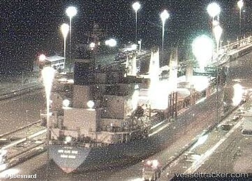
Vessel profile: BOS COSTA is a Bulk Carrier with dimensions m x m.
This page combines live AIS, route history, probable destination signals, nearby traffic, and port activity for practical vessel monitoring.
The current position of vessel BOS COSTA is 40.93637 lat / 28.87026 lng. Updated: 2026-05-22 23:53:50 UTCNearest reference points:
- Near BAKIRKOY
- Near ZEYTINBURNU
- Near Davutpasa
Currently sailing under the flag of Saint Vincent and the Grenadines ![]()
Details:
Live Vessel BOS COSTA Analytics (details, animations, etc.)
Recent AIS points (UTC):
2026-05-22 19:59:49 UTC · 40.93628, 28.87019 · SOG 0 kn · COG 355°2026-05-22 21:32:49 UTC · 40.93639, 28.86996 · SOG 0 kn · COG -1°
2026-05-22 22:05:50 UTC · 40.93634, 28.87024 · SOG 0 kn · COG -1°
2026-05-22 23:53:50 UTC · 40.93637, 28.87026 · SOG 0 kn · COG 9°