 LUMINA T
Current Status
Where is the vessel?
LUMINA T is currently in 162 nm W of Moho Bilondo, based on AIS data received about 16h ago.
Latest AIS update:
Current position: 5.61123° S, 7.55193° E (162 nm W of Moho Bilondo)
Average speed (last 7 days): Loading…
Average speed (last 30 days): Loading…
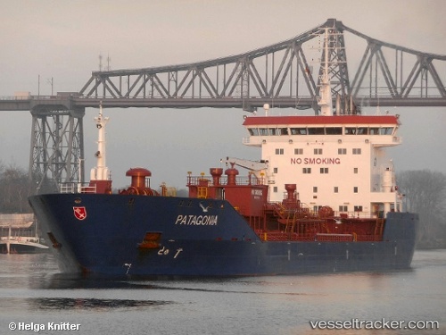
Vessel profile: LUMINA T is a Oil/Chemical Tanker with dimensions m x m.
This page combines live AIS, route history, probable destination signals, nearby traffic, and port activity for practical vessel monitoring.
The current position of vessel LUMINA T is -5.61123 lat / 7.55193 lng. Updated: 2026-06-06 13:42:15 UTCCurrently sailing under the flag of Panama ![]()
Details:
Live Vessel LUMINA T Analytics (details, animations, etc.)
Recent AIS points (UTC):
2026-06-06 10:09:13 UTC · -5.66025, 7.61500 · SOG 1.5 kn · COG 82°2026-06-06 12:04:45 UTC · -5.63494, 7.58009 · SOG 1.5 kn · COG 84°
2026-06-06 13:33:50 UTC · -5.61339, 7.55415 · SOG 1.4 kn · COG 81°
2026-06-06 13:42:15 UTC · -5.61123, 7.55193 · SOG 1.7 kn · COG 83°