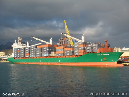
 HMM CEBU
Current Status
Where is the vessel?
HMM CEBU is currently in 47 nm NE of Sumenep, based on AIS data received about 14h ago.
Latest AIS update:
Current position: 6.37459° S, 114.36472° E (47 nm NE of Sumenep)
Average speed (last 7 days): Loading…
Average speed (last 30 days): Loading…
Vessel profile: HMM CEBU is a Container Ship with dimensions m x m.
This page combines live AIS, route history, probable destination signals, nearby traffic, and port activity for practical vessel monitoring.
The current position of vessel HMM CEBU is -6.37459 lat / 114.36472 lng. Updated: 2026-05-19 23:10:14 UTCNearest reference points:
- 76 nm N of Sumenep
- 30 nm NW of Sumenep
- 34 nm N of Arjasa
Currently sailing under the flag of South Korea ![]()
Details:
Live Vessel HMM CEBU Analytics (details, animations, etc.)
Recent AIS points (UTC):
2026-05-19 19:11:33 UTC · -6.70333, 113.23167 · SOG 17 kn · COG -1°2026-05-19 20:11:33 UTC · -6.62500, 113.52167 · SOG 17 kn · COG -1°
2026-05-19 21:23:30 UTC · -6.52333, 113.86500 · SOG 17 kn · COG -1°
2026-05-19 23:10:14 UTC · -6.37459, 114.36472 · SOG 16.9 kn · COG 70°