 vesseltracker.com
 DORIS OCEAN
Current Status
Where is the vessel?
DORIS OCEAN is currently in 129 nm E of Tepanje, based on AIS data received about 14h ago.
Latest AIS update:
Current position: 45.57588° N, 156.27177° E (129 nm E of Tepanje)
Average speed (last 7 days): Loading…
Average speed (last 30 days): Loading…
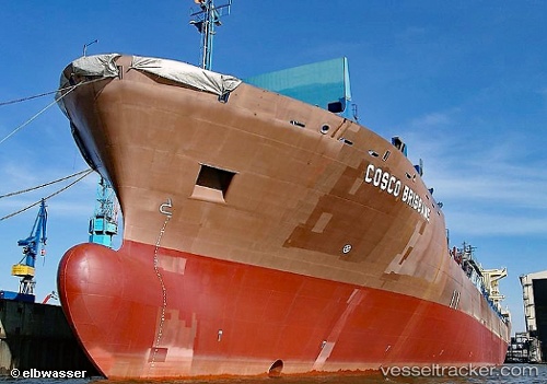
Vessel profile: DORIS OCEAN is a Container Ship with dimensions m x m.
This page combines live AIS, route history, probable destination signals, nearby traffic, and port activity for practical vessel monitoring.
The current position of vessel DORIS OCEAN is 45.57588 lat / 156.27177 lng. Updated: 2026-05-18 13:35:09 UTCCurrently sailing under the flag of Liberia ![]()
Details:
Live Vessel DORIS OCEAN Analytics (details, animations, etc.)
Recent AIS points (UTC):
2026-05-18 11:02:54 UTC · 45.42926, 155.15347 · SOG 18.9 kn · COG 74°2026-05-18 11:36:49 UTC · 45.47818, 155.39824 · SOG 18.8 kn · COG 75°
2026-05-18 13:32:00 UTC · 45.57375, 156.24879 · SOG 18.8 kn · COG 84°
2026-05-18 13:35:09 UTC · 45.57588, 156.27177 · SOG 18.8 kn · COG 83°