 ANEMONI
Current Status
Where is the vessel?
ANEMONI is currently in Near Ayn Sukhnah, based on AIS data received about 15h ago.
Latest AIS update:
Current position: 29.50289° N, 32.45427° E (Near Ayn Sukhnah)
Average speed (last 7 days): Loading…
Average speed (last 30 days): Loading…
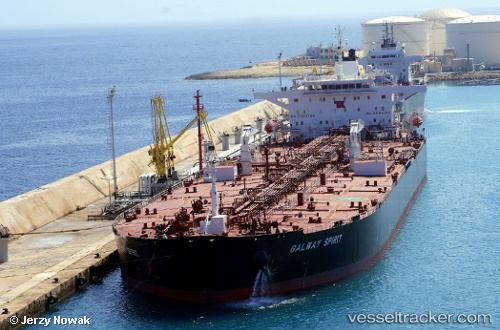
Vessel profile: ANEMONI is a Oil Products Tanker with dimensions m x m.
This page combines live AIS, route history, probable destination signals, nearby traffic, and port activity for practical vessel monitoring.
The current position of vessel ANEMONI is 29.50289 lat / 32.45427 lng. Updated: 2026-05-21 05:26:38 UTCNearest reference points:
- Near Ras Sudr
- Near Al Adabiyah
- Near AL ADABIYAH
Currently sailing under the flag of Liberia ![]()
Details:
Live Vessel ANEMONI Analytics (details, animations, etc.)
Recent AIS points (UTC):
2026-05-21 02:14:40 UTC · 29.50331, 32.45463 · SOG 0 kn · COG 307°2026-05-21 03:50:40 UTC · 29.50336, 32.45471 · SOG 0 kn · COG 303°
2026-05-21 04:32:40 UTC · 29.50308, 32.45434 · SOG 0 kn · COG 313°
2026-05-21 05:26:38 UTC · 29.50289, 32.45427 · SOG 0 kn · COG 317°