 ELYSARIA
Current Status
Where is the vessel?
ELYSARIA is currently in 23 nm S of Ferring, based on AIS data received about 15h ago.
Latest AIS update:
Current position: 50.44307° N, 0.25204° W (23 nm S of Ferring)
Average speed (last 7 days): Loading…
Average speed (last 30 days): Loading…
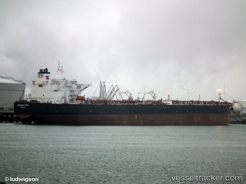
Vessel profile: ELYSARIA is a Oil Products Tanker with dimensions m x m.
This page combines live AIS, route history, probable destination signals, nearby traffic, and port activity for practical vessel monitoring.
The current position of vessel ELYSARIA is 50.44307 lat / -0.25204 lng. Updated: 2026-05-22 10:04:01 UTCNearest reference points:
- 23 nm S of Ferring
- 27 nm S of Seaford
- 15 nm S of Selsey
Currently sailing under the flag of Liberia ![]()
Details:
Live Vessel ELYSARIA Analytics (details, animations, etc.)
Recent AIS points (UTC):
2026-05-22 07:08:52 UTC · 50.65609, 0.73802 · SOG 13.5 kn · COG 237°2026-05-22 08:16:23 UTC · 50.55395, 0.36224 · SOG 14.3 kn · COG 253°
2026-05-22 09:50:53 UTC · 50.45567, -0.18162 · SOG 13 kn · COG 256°
2026-05-22 10:04:01 UTC · 50.44307, -0.25204 · SOG 12.7 kn · COG 256°