 Coast Buster
Current Status
Where is the vessel?
Coast Buster is currently in Near Marmara Ereglisi, based on AIS data received about 14h ago.
Latest AIS update:
Current position: 41.00772° N, 27.99531° E (Near Marmara Ereglisi)
Average speed (last 7 days): Loading…
Average speed (last 30 days): Loading…
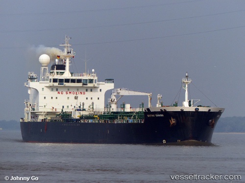
Vessel profile: Coast Buster is a Chemical/Oil Products Tanker with dimensions 184m x 28m.
This page combines live AIS, route history, probable destination signals, nearby traffic, and port activity for practical vessel monitoring.
The current position of vessel Coast Buster is 41.00772 lat / 27.99531 lng. Updated: 2026-05-20 13:50:41 UTCNearest reference points:
- Near Saraylar
- Near TEKIRDAG
- 11 nm E of Erdek
Currently sailing under the flag of Bahamas ![]()
Coast Buster built in 2006 year
Deadweight:
36713 tDetails:
Live Vessel Coast Buster Analytics (details, animations, etc.)
Recent AIS points (UTC):
2026-05-20 10:14:44 UTC · 41.00772, 27.99533 · SOG 0 kn · COG 56°2026-05-20 11:38:41 UTC · 41.00771, 27.99533 · SOG 0 kn · COG 56°
2026-05-20 12:59:41 UTC · 41.00772, 27.99532 · SOG 0 kn · COG 56°
2026-05-20 13:50:41 UTC · 41.00772, 27.99531 · SOG 0 kn · COG 56°