 TULU
TULU
Current Status
Where is the vessel?
TULU is currently in 23 nm E of SASSNITZ, based on AIS data received about 14h ago.
Latest AIS update:
Current position: 54.64986° N, 14.25191° E (23 nm E of SASSNITZ)
Average speed (last 7 days): Loading…
Average speed (last 30 days): Loading…
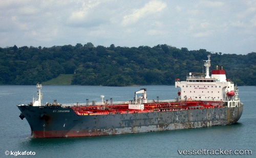
Vessel profile: TULU is a Oil/Chemical Tanker with dimensions m x m.
This page combines live AIS, route history, probable destination signals, nearby traffic, and port activity for practical vessel monitoring.
The current position of vessel TULU is 54.64986 lat / 14.25191 lng. Updated: 2026-05-21 11:33:10 UTCNearest reference points:
- Near Baabe (Ostseebad)
- Near SASSNITZ
- Near Lietzow
Currently sailing under the flag of Barbados ![]()
Details:
Live Vessel TULU Analytics (details, animations, etc.)
Recent AIS points (UTC):
2026-05-21 07:48:28 UTC · 54.79470, 15.48202 · SOG 12.2 kn · COG 223°2026-05-21 09:40:30 UTC · 54.66660, 14.90038 · SOG 12.3 kn · COG 260°
2026-05-21 11:04:39 UTC · 54.62427, 14.41332 · SOG 12.2 kn · COG 269°
2026-05-21 11:33:10 UTC · 54.64986, 14.25191 · SOG 12.3 kn · COG 289°