 vesseltracker.com
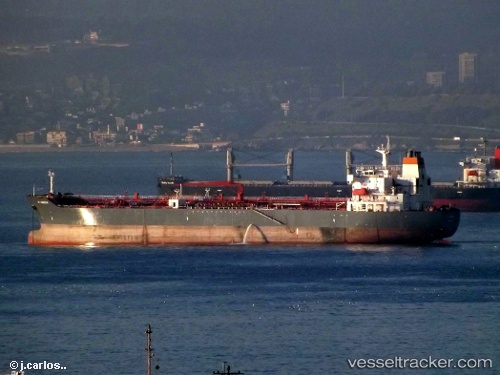
 MOSTAR
Current Status
Where is the vessel?
MOSTAR is currently in 386 nm W of Ile Desroches, based on AIS data received about 15h ago.
Latest AIS update:
Current position: 5.11333° S, 47.25500° E (386 nm W of Ile Desroches)
Average speed (last 7 days): Loading…
Average speed (last 30 days): Loading…
Vessel profile: MOSTAR is a Oil/Chemical Tanker with dimensions m x m.
This page combines live AIS, route history, probable destination signals, nearby traffic, and port activity for practical vessel monitoring.
The current position of vessel MOSTAR is -5.11333 lat / 47.25500 lng. Updated: 2026-05-18 08:04:24 UTCNearest reference points:
- Open sea, approx. 400 nm off the nearest listed port
- Open sea, approx. 405 nm off the nearest listed port
- Open sea, approx. 403 nm off the nearest listed port
Currently sailing under the flag of Panama ![]()
Details:
Live Vessel MOSTAR Analytics (details, animations, etc.)
Recent AIS points (UTC):
2026-05-18 04:55:19 UTC · -5.66833, 46.87333 · SOG 12 kn · COG -1°2026-05-18 06:01:54 UTC · -5.47560, 47.01084 · SOG 12.3 kn · COG 34°
2026-05-18 07:09:27 UTC · -5.27608, 47.14610 · SOG 12.9 kn · COG 34°
2026-05-18 08:04:24 UTC · -5.11333, 47.25500 · SOG 12 kn · COG -1°