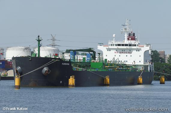
 SUMER
SUMER
Current Status
Where is the vessel?
SUMER is currently in 23 nm SW of Areópolis, based on AIS data received about 14h ago.
Latest AIS update:
Current position: 36.28997° N, 22.19600° E (23 nm SW of Areópolis)
Average speed (last 7 days): Loading…
Average speed (last 30 days): Loading…
Vessel profile: SUMER is a Oil/Chemical Tanker with dimensions m x m.
This page combines live AIS, route history, probable destination signals, nearby traffic, and port activity for practical vessel monitoring.
The current position of vessel SUMER is 36.28997 lat / 22.19600 lng. Updated: 2026-05-20 19:32:12 UTCNearest reference points:
- 17 nm S of Areópolis
- 23 nm S of Methoni
- Near Kythira
Currently sailing under the flag of Turkey ![]()
Details:
Live Vessel SUMER Analytics (details, animations, etc.)
Recent AIS points (UTC):
2026-05-20 15:35:35 UTC · 36.19167, 21.12333 · SOG 12 kn · COG -1°2026-05-20 16:07:24 UTC · 36.20611, 21.26421 · SOG 13.1 kn · COG 82°
2026-05-20 18:02:36 UTC · 36.25333, 21.78833 · SOG 13 kn · COG -1°
2026-05-20 19:32:12 UTC · 36.28997, 22.19600 · SOG 12.9 kn · COG 84°