 INDRAS
Current Status
Where is the vessel?
INDRAS is currently in 163 nm S of Tarpon Springs, based on AIS data received about 14h ago.
Latest AIS update:
Current position: 26.12238° N, 29.53693° W (163 nm S of Tarpon Springs)
Average speed (last 7 days): Loading…
Average speed (last 30 days): Loading…
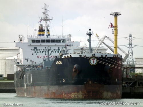
Vessel profile: INDRAS is a Oil/Chemical Tanker with dimensions m x m.
This page combines live AIS, route history, probable destination signals, nearby traffic, and port activity for practical vessel monitoring.
The current position of vessel INDRAS is 26.12238 lat / -29.53693 lng. Updated: 2026-05-22 01:47:27 UTCNearest reference points:
- 289 nm S of Tarpon Springs
Currently sailing under the flag of Sierra Leone ![]()
Details:
Live Vessel INDRAS Analytics (details, animations, etc.)
Recent AIS points (UTC):
2026-05-21 19:39:07 UTC · 27.18062, -28.62945 · SOG 12.8 kn · COG 220°2026-05-21 22:07:47 UTC · 26.75778, -28.99700 · SOG 12.9 kn · COG 220°
2026-05-21 23:00:17 UTC · 26.60582, -29.12632 · SOG 13.1 kn · COG 219°
2026-05-22 01:47:27 UTC · 26.12238, -29.53693 · SOG 13.2 kn · COG 217°