 vesseltracker.com
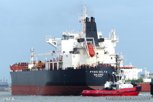
 MARIA GLORY
Current Status
Where is the vessel?
MARIA GLORY is currently in 44 nm NE of Perbaungan, based on AIS data received about 14h ago.
Latest AIS update:
Current position: 4.19963° N, 99.31961° E (44 nm NE of Perbaungan)
Average speed (last 7 days): Loading…
Average speed (last 30 days): Loading…
Vessel profile: MARIA GLORY is a Oil/Chemical Tanker with dimensions m x m.
This page combines live AIS, route history, probable destination signals, nearby traffic, and port activity for practical vessel monitoring.
The current position of vessel MARIA GLORY is 4.19963 lat / 99.31961 lng. Updated: 2026-05-18 03:44:46 UTCNearest reference points:
- 43 nm NE of Perbaungan
- 10 nm NE of Belawan
- Near Belawan
Currently sailing under the flag of India ![]()
Details:
Live Vessel MARIA GLORY Analytics (details, animations, etc.)
Recent AIS points (UTC):
2026-05-18 00:02:08 UTC · 3.65002, 100.02269 · SOG 13.9 kn · COG 306°2026-05-18 00:18:02 UTC · 3.68807, 99.97320 · SOG 14 kn · COG 312°
2026-05-18 00:18:02 UTC · 3.68807, 99.97320 · SOG 14 kn · COG 312°
2026-05-18 03:44:46 UTC · 4.19963, 99.31961 · SOG 13.3 kn · COG 315°