 ODETTE
Current Status
Where is the vessel?
ODETTE is currently in Near TANJUNG PEMANCINGAN, based on AIS data received about 17h ago.
Latest AIS update:
Current position: 3.22237° S, 116.33492° E (Near TANJUNG PEMANCINGAN)
Average speed (last 7 days): Loading…
Average speed (last 30 days): Loading…
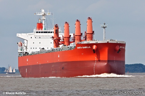
Vessel profile: ODETTE is a Bulk Carrier with dimensions m x m.
This page combines live AIS, route history, probable destination signals, nearby traffic, and port activity for practical vessel monitoring.
The current position of vessel ODETTE is -3.22237 lat / 116.33492 lng. Updated: 2026-05-21 09:55:55 UTCNearest reference points:
- Near TANJUNG PEMANCINGAN
- 12 nm SE of Bunati
- Near Bunati
Currently sailing under the flag of Indonesia ![]()
Details:
Live Vessel ODETTE Analytics (details, animations, etc.)
Recent AIS points (UTC):
2026-05-21 06:49:57 UTC · -3.22348, 116.33608 · SOG 0 kn · COG 20°2026-05-21 09:16:55 UTC · -3.22220, 116.33488 · SOG 0 kn · COG 83°
2026-05-21 09:55:55 UTC · -3.22237, 116.33492 · SOG 0 kn · COG 77°
2026-05-21 09:55:55 UTC · -3.22237, 116.33492 · SOG 0 kn · COG 77°