 LADY JAMILA
Current Status
Where is the vessel?
LADY JAMILA is currently in 18 nm W of Shelomi, based on AIS data received about 14h ago.
Latest AIS update:
Current position: 33.09862° N, 34.74612° E (18 nm W of Shelomi)
Average speed (last 7 days): Loading…
Average speed (last 30 days): Loading…
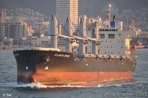
Vessel profile: LADY JAMILA is a Bulk Carrier with dimensions m x m.
This page combines live AIS, route history, probable destination signals, nearby traffic, and port activity for practical vessel monitoring.
The current position of vessel LADY JAMILA is 33.09862 lat / 34.74612 lng. Updated: 2026-05-20 13:50:21 UTCNearest reference points:
- 22 nm W of Haifa Granaries
- Near Haifa
- Near DBAIYEH
Currently sailing under the flag of Panama ![]()
Details:
Live Vessel LADY JAMILA Analytics (details, animations, etc.)
Recent AIS points (UTC):
2026-05-20 10:15:40 UTC · 33.06442, 34.70690 · SOG 0.6 kn · COG 347°2026-05-20 11:30:21 UTC · 33.07692, 34.71471 · SOG 0.5 kn · COG 334°
2026-05-20 11:30:21 UTC · 33.07692, 34.71471 · SOG 0.5 kn · COG 334°
2026-05-20 13:50:21 UTC · 33.09862, 34.74612 · SOG 0.7 kn · COG 332°