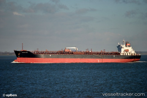
Chemroad Rose
Current StatusWhere is the vessel?
Chemroad Rose is currently in 38 nm NE of AL JUBAIL, based on AIS data received about 14h ago.
Latest AIS update:
Current position: 27.40622° N, 50.31327° E (38 nm NE of AL JUBAIL)
Average speed (last 7 days): Loading…
Average speed (last 30 days): Loading…
Vessel profile: Chemroad Rose is a Chemical Tanker with dimensions 26m x 169m.
This page combines live AIS, route history, probable destination signals, nearby traffic, and port activity for practical vessel monitoring.
The current position of vessel Chemroad Rose is 27.40622 lat / 50.31327 lng. Updated: 2026-05-18 22:03:37 UTCNearest reference points:
- 13 nm NE of AL JUBAIL
- Near Al Jubayl
- 44 nm NE of Ras Al Khair
Details:
Live Vessel Chemroad Rose Analytics (details, animations, etc.)
Recent AIS points (UTC):
2026-05-18 17:42:37 UTC · 27.40607, 50.31327 · SOG 0.1 kn · COG 125°2026-05-18 19:30:37 UTC · 27.40639, 50.31338 · SOG 0 kn · COG 135°
2026-05-18 19:42:37 UTC · 27.40645, 50.31333 · SOG 0.1 kn · COG 135°
2026-05-18 22:03:37 UTC · 27.40622, 50.31327 · SOG 0.1 kn · COG 132°