 EUROPALINK
Current Status
Where is the vessel?
EUROPALINK is currently in 15 nm N of Othonoí, based on AIS data received about 14h ago.
Latest AIS update:
Current position: 40.09965° N, 19.39173° E (15 nm N of Othonoí)
Average speed (last 7 days): Loading…
Average speed (last 30 days): Loading…
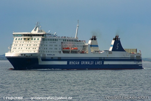
Vessel profile: EUROPALINK is a Ro-Ro/Passenger Ship with dimensions m x m.
This page combines live AIS, route history, probable destination signals, nearby traffic, and port activity for practical vessel monitoring.
The current position of vessel EUROPALINK is 40.09965 lat / 19.39173 lng. Updated: 2026-05-22 15:45:29 UTCNearest reference points:
- Near Agios Athanasios
- Near Palaiokastritsa
- Near GOUVIA KONTOKALI
Currently sailing under the flag of Italy ![]()
Details:
Live Vessel EUROPALINK Analytics (details, animations, etc.)
Recent AIS points (UTC):
2026-05-22 11:40:08 UTC · 40.71091, 18.08145 · SOG 17 kn · COG 84°2026-05-22 13:05:59 UTC · 40.50141, 18.55812 · SOG 17.2 kn · COG 119°
2026-05-22 13:28:35 UTC · 40.44814, 18.68133 · SOG 17.1 kn · COG 118°
2026-05-22 15:45:29 UTC · 40.09965, 19.39173 · SOG 17.3 kn · COG 123°