 LADY LUCIANA
Current Status
Where is the vessel?
LADY LUCIANA is currently in 20 nm SE of Larouco, based on AIS data received about 14h ago.
Latest AIS update:
Current position: 42.09565° N, 7.47823° E (20 nm SE of Larouco)
Average speed (last 7 days): Loading…
Average speed (last 30 days): Loading…
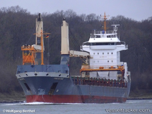
Vessel profile: LADY LUCIANA is a General Cargo with dimensions m x m.
This page combines live AIS, route history, probable destination signals, nearby traffic, and port activity for practical vessel monitoring.
The current position of vessel LADY LUCIANA is 42.09565 lat / 7.47823 lng. Updated: 2026-05-20 02:06:44 UTCNearest reference points:
- Near Saint-Tropez
- Near Ajaccio
- Near Boulouris-sur-Mer
Currently sailing under the flag of Panama ![]()
Details:
Live Vessel LADY LUCIANA Analytics (details, animations, etc.)
Recent AIS points (UTC):
2026-05-19 22:43:06 UTC · 41.54095, 6.92488 · SOG 12.2 kn · COG 37°2026-05-19 23:59:14 UTC · 41.74897, 7.12492 · SOG 12.1 kn · COG 36°
2026-05-20 01:06:05 UTC · 41.93322, 7.30347 · SOG 12.3 kn · COG 36°
2026-05-20 02:06:44 UTC · 42.09565, 7.47823 · SOG 12.2 kn · COG 37°