 Mary A
Current Status
Where is the vessel?
Mary A is currently in 12 nm W of Llanwrda, based on AIS data received about 14h ago.
Latest AIS update:
Current position: 51.89379° N, 3.57262° E (12 nm W of Llanwrda)
Average speed (last 7 days): Loading…
Average speed (last 30 days): Loading…
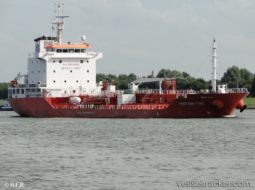
Vessel profile: Mary A is a Chemical Oil Products Tanker with dimensions 113m x 113m.
This page combines live AIS, route history, probable destination signals, nearby traffic, and port activity for practical vessel monitoring.
The current position of vessel Mary A is 51.89379 lat / 3.57262 lng. Updated: 2026-05-21 15:56:29 UTCNearest reference points:
- 12 nm NE of Hunsdon
- Near NEELTJE JANS
- Near OOSTWATERING
Currently sailing under the flag of Italy ![]()
Mary A built in 2007 year
Deadweight:
8084 tDetails:
Live Vessel Mary A Analytics (details, animations, etc.)
Recent AIS points (UTC):
2026-05-21 11:32:24 UTC · 51.89242, 3.57029 · SOG 0 kn · COG 23°2026-05-21 13:39:06 UTC · 51.89249, 3.57023 · SOG 0 kn · COG 31°
2026-05-21 14:05:29 UTC · 51.89252, 3.57025 · SOG 0 kn · COG 33°
2026-05-21 15:56:29 UTC · 51.89379, 3.57262 · SOG 0 kn · COG 224°