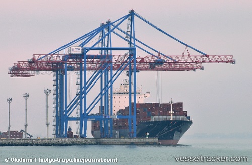
 SHEKOU STAR
Current Status
Where is the vessel?
SHEKOU STAR is currently in Near Algeciras, based on AIS data received about 15h ago.
Latest AIS update:
Current position: 36.08799° N, 5.41337° W (Near Algeciras)
Average speed (last 7 days): Loading…
Average speed (last 30 days): Loading…
Vessel profile: SHEKOU STAR is a Container Ship with dimensions m x m.
This page combines live AIS, route history, probable destination signals, nearby traffic, and port activity for practical vessel monitoring.
The current position of vessel SHEKOU STAR is 36.08799 lat / -5.41337 lng. Updated: 2026-06-06 11:38:39 UTCNearest reference points:
- Near Algeciras
- Near Waterport
- Near La Línea de la Concepción
Currently sailing under the flag of Marshall Islands ![]()
Details:
Live Vessel SHEKOU STAR Analytics (details, animations, etc.)
Recent AIS points (UTC):
2026-06-06 07:32:37 UTC · 36.09022, -5.41332 · SOG 0.3 kn · COG 111°2026-06-06 10:29:48 UTC · 36.08805, -5.41317 · SOG 0 kn · COG 34°
2026-06-06 11:20:40 UTC · 36.08821, -5.41358 · SOG 0 kn · COG 54°
2026-06-06 11:38:39 UTC · 36.08799, -5.41337 · SOG 0 kn · COG 46°