 CMA CGM MANTA RAY
Current Status
Where is the vessel?
CMA CGM MANTA RAY is currently in Near Dutch Harbor, based on AIS data received about 16h ago.
Latest AIS update:
Current position: 53.88298° N, 166.53130° W (Near Dutch Harbor)
Average speed (last 7 days): Loading…
Average speed (last 30 days): Loading…
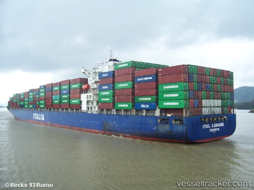
Vessel profile: CMA CGM MANTA RAY is a Container Ship with dimensions 294m x 32m.
This page combines live AIS, route history, probable destination signals, nearby traffic, and port activity for practical vessel monitoring.
The current position of vessel CMA CGM MANTA RAY is 53.88298 lat / -166.53130 lng. Updated: 2026-05-20 17:23:10 UTCNearest reference points:
- Near Dutch Harbor
Currently sailing under the flag of Malta ![]()
CMA CGM MANTA RAY built in 2007 year
Deadweight:
68008 tDetails:
Live Vessel CMA CGM MANTA RAY Analytics (details, animations, etc.)
Recent AIS points (UTC):
2026-05-20 13:41:05 UTC · 53.88300, -166.53130 · SOG 0 kn · COG 50°2026-05-20 15:38:10 UTC · 53.88296, -166.53133 · SOG 0 kn · COG 50°
2026-05-20 17:05:10 UTC · 53.88299, -166.53133 · SOG 0 kn · COG 50°
2026-05-20 17:23:10 UTC · 53.88298, -166.53130 · SOG 0 kn · COG 50°