 vesseltracker.com
 PALOMA
Current Status
Where is the vessel?
PALOMA is currently in Open sea, approx. 407 nm off the nearest listed port, based on AIS data received about 14h ago.
Latest AIS update:
Current position: 19.93122° S, 5.51588° E (Open sea, approx. 407 nm off the nearest listed port)
Average speed (last 7 days): Loading…
Average speed (last 30 days): Loading…
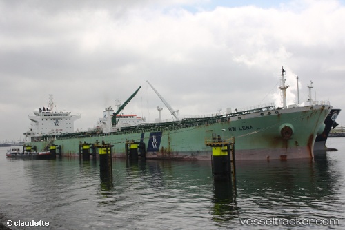
Vessel profile: PALOMA is a Oil Products Tanker with dimensions 228m x 32m.
This page combines live AIS, route history, probable destination signals, nearby traffic, and port activity for practical vessel monitoring.
The current position of vessel PALOMA is -19.93122 lat / 5.51588 lng. Updated: 2026-05-18 07:51:12 UTCNearest reference points:
- Open sea, approx. 407 nm off the nearest listed port
- Open sea, approx. 405 nm off the nearest listed port
- Open sea, approx. 409 nm off the nearest listed port
Currently sailing under the flag of Marshall Is ![]()
PALOMA built in 2007 year
Deadweight:
76578 tDetails:
Live Vessel PALOMA Analytics (details, animations, etc.)
Recent AIS points (UTC):
2026-05-18 04:47:16 UTC · -19.45873, 5.15282 · SOG 11.3 kn · COG 145°2026-05-18 05:31:53 UTC · -19.57697, 5.23453 · SOG 11.5 kn · COG 149°
2026-05-18 07:32:37 UTC · -19.88333, 5.47667 · SOG 11 kn · COG -1°
2026-05-18 07:51:12 UTC · -19.93122, 5.51588 · SOG 11.5 kn · COG 142°