 ELI A
ELI A
Current Status
Where is the vessel?
ELI A is currently in Near Marin, based on AIS data received about 14h ago.
Latest AIS update:
Current position: 42.40542° N, 8.69338° W (Near Marin)
Average speed (last 7 days): Loading…
Average speed (last 30 days): Loading…
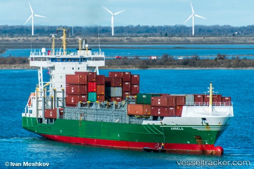
Vessel profile: ELI A is a Container Ship with dimensions m x m.
This page combines live AIS, route history, probable destination signals, nearby traffic, and port activity for practical vessel monitoring.
The current position of vessel ELI A is 42.40542 lat / -8.69338 lng. Updated: 2026-05-20 10:34:19 UTCNearest reference points:
- Near Vigo
- Near Corujo
- Near Portosin
Currently sailing under the flag of Portugal ![]()
Details:
Live Vessel ELI A Analytics (details, animations, etc.)
Recent AIS points (UTC):
2026-05-20 07:22:09 UTC · 42.40543, -8.69340 · SOG 0 kn · COG 62°2026-05-20 07:31:08 UTC · 42.40533, -8.69333 · SOG 0 kn · COG 62°
2026-05-20 09:52:09 UTC · 42.40544, -8.69341 · SOG 0 kn · COG 62°
2026-05-20 10:34:19 UTC · 42.40542, -8.69338 · SOG 0 kn · COG 62°