 FAIR WINDS
Current Status
Where is the vessel?
FAIR WINDS is currently in 21 nm SW of Westport/Port Klang, based on AIS data received about 25d ago.
Latest AIS update:
Current position: 2.78980° N, 100.99710° E (21 nm SW of Westport/Port Klang)
Average speed (last 7 days): Loading…
Average speed (last 30 days): Loading…
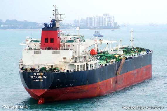
Vessel profile: FAIR WINDS is a Crude Oil Tanker with dimensions 33m x 230m.
This page combines live AIS, route history, probable destination signals, nearby traffic, and port activity for practical vessel monitoring.
The current position of vessel FAIR WINDS is 2.78980 lat / 100.99710 lng. Updated: 2026-04-24 09:16:11 UTCNearest reference points:
- 21 nm SW of Pulau Indah
- Near Pulau Indah
- Near Westport/Port Klang
Currently sailing under the flag of Marshall Islands ![]()
FAIR WINDS built in 2007 year
Deadweight:
73976 tDetails:
Live Vessel FAIR WINDS Analytics (details, animations, etc.)
Recent AIS points (UTC):
2026-04-24 09:16:11 UTC · 2.78980, 100.99710 · SOG 9.5 kn · COG 116°2026-04-24 09:16:11 UTC · 2.78980, 100.99710 · SOG 9.5 kn · COG 116°
2026-04-24 09:16:11 UTC · 2.78980, 100.99710 · SOG 9.5 kn · COG 116°
2026-04-24 09:16:11 UTC · 2.78980, 100.99710 · SOG 9.5 kn · COG 116°