 LV ESTIA
Current Status
Where is the vessel?
LV ESTIA is currently in 95 nm SW of Al Qunfudah, based on AIS data received about 14h ago.
Latest AIS update:
Current position: 18.02870° N, 39.84983° E (95 nm SW of Al Qunfudah)
Average speed (last 7 days): Loading…
Average speed (last 30 days): Loading…
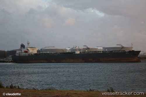
Vessel profile: LV ESTIA is a Crude Oil Tanker with dimensions m x m.
This page combines live AIS, route history, probable destination signals, nearby traffic, and port activity for practical vessel monitoring.
The current position of vessel LV ESTIA is 18.02870 lat / 39.84983 lng. Updated: 2026-05-21 13:06:13 UTCNearest reference points:
- 99 nm SW of Al Qunfudah
- 92 nm SW of Al Qahmah
- 53 nm SW of SHUAIBAH
Currently sailing under the flag of Marshall Islands ![]()
Details:
Live Vessel LV ESTIA Analytics (details, animations, etc.)
Recent AIS points (UTC):
2026-05-21 09:57:11 UTC · 18.62915, 39.50047 · SOG 12.8 kn · COG 150°2026-05-21 10:49:41 UTC · 18.46877, 39.59953 · SOG 12.7 kn · COG 144°
2026-05-21 11:21:21 UTC · 18.37097, 39.65903 · SOG 12.9 kn · COG 147°
2026-05-21 13:06:13 UTC · 18.02870, 39.84983 · SOG 13.3 kn · COG 151°