 BAHAMAS PROSPERITY
Current Status
Where is the vessel?
BAHAMAS PROSPERITY is currently in 272 nm SW of Veraval, based on AIS data received about 15h ago.
Latest AIS update:
Current position: 17.83289° N, 66.82084° E (272 nm SW of Veraval)
Average speed (last 7 days): Loading…
Average speed (last 30 days): Loading…
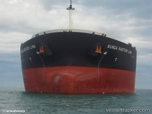
Vessel profile: BAHAMAS PROSPERITY is a Crude Oil Tanker with dimensions m x m.
This page combines live AIS, route history, probable destination signals, nearby traffic, and port activity for practical vessel monitoring.
The current position of vessel BAHAMAS PROSPERITY is 17.83289 lat / 66.82084 lng. Updated: 2026-05-22 01:21:21 UTCNearest reference points:
- 306 nm SW of Veraval
- 236 nm SW of Veraval
- Open sea, approx. 400 nm off the nearest listed port
Currently sailing under the flag of Liberia ![]()
Details:
Live Vessel BAHAMAS PROSPERITY Analytics (details, animations, etc.)
Recent AIS points (UTC):
2026-05-21 21:56:22 UTC · 17.78235, 66.81437 · SOG 0.7 kn · COG 325°2026-05-21 22:11:42 UTC · 17.78585, 66.81482 · SOG 1.1 kn · COG 332°
2026-05-22 01:11:22 UTC · 17.83032, 66.82024 · SOG 0.9 kn · COG 345°
2026-05-22 01:21:21 UTC · 17.83289, 66.82084 · SOG 0.8 kn · COG 348°