 LONG BEACH TRADER
Current Status
Where is the vessel?
LONG BEACH TRADER is currently in 362 nm W of Henties Bay (Hentiesbaai), based on AIS data received about 14h ago.
Latest AIS update:
Current position: 22.24572° S, 7.77178° E (362 nm W of Henties Bay (Hentiesbaai))
Average speed (last 7 days): Loading…
Average speed (last 30 days): Loading…
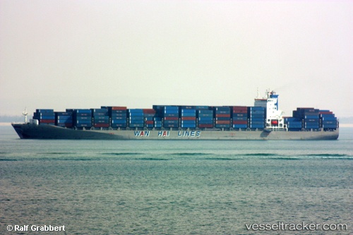
Vessel profile: LONG BEACH TRADER is a Container Ship with dimensions 277m x 40m.
This page combines live AIS, route history, probable destination signals, nearby traffic, and port activity for practical vessel monitoring.
The current position of vessel LONG BEACH TRADER is -22.24572 lat / 7.77178 lng. Updated: 2026-05-22 05:57:02 UTCNearest reference points:
- Open sea, approx. 400 nm off the nearest listed port
- Open sea, approx. 431 nm off the nearest listed port
- Open sea, approx. 433 nm off the nearest listed port
Currently sailing under the flag of Liberia ![]()
LONG BEACH TRADER built in 2007 year
Deadweight:
67797 tDetails:
Live Vessel LONG BEACH TRADER Analytics (details, animations, etc.)
Recent AIS points (UTC):
2026-05-22 02:10:19 UTC · -21.36728, 7.06603 · SOG 17.7 kn · COG 143°2026-05-22 04:06:08 UTC · -21.81628, 7.42715 · SOG 17.4 kn · COG 143°
2026-05-22 04:25:43 UTC · -21.89233, 7.48777 · SOG 17.2 kn · COG 143°
2026-05-22 05:57:02 UTC · -22.24572, 7.77178 · SOG 17.3 kn · COG 141°