 NEW RANGER
Current Status
Where is the vessel?
NEW RANGER is currently in 88 nm S of Boboras, based on AIS data received about 14h ago.
Latest AIS update:
Current position: 45.06147° N, 8.86986° W (88 nm S of Boboras)
Average speed (last 7 days): Loading…
Average speed (last 30 days): Loading…
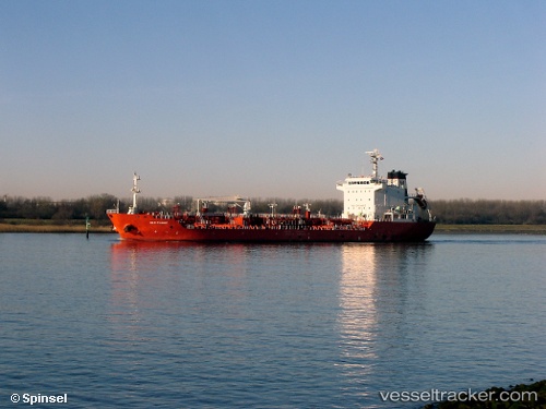
Vessel profile: NEW RANGER is a Oil/Chemical Tanker with dimensions m x m.
This page combines live AIS, route history, probable destination signals, nearby traffic, and port activity for practical vessel monitoring.
The current position of vessel NEW RANGER is 45.06147 lat / -8.86986 lng. Updated: 2026-05-22 08:07:38 UTCNearest reference points:
- 57 nm S of Boboras
- 30 nm NW of Meiras-Valdoviño
- 15 nm NW of CEDEIRA
Currently sailing under the flag of Liberia ![]()
Details:
Live Vessel NEW RANGER Analytics (details, animations, etc.)
Recent AIS points (UTC):
2026-05-22 04:24:04 UTC · 45.61850, -8.43936 · SOG 10.2 kn · COG 204°2026-05-22 05:50:30 UTC · 45.40508, -8.59797 · SOG 9.8 kn · COG 213°
2026-05-22 07:29:47 UTC · 45.15903, -8.79911 · SOG 10.2 kn · COG 210°
2026-05-22 08:07:38 UTC · 45.06147, -8.86986 · SOG 10.2 kn · COG 209°