 vesseltracker.com
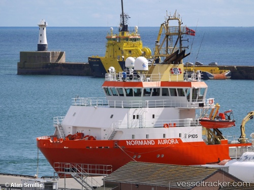
 ATLANTICA SUPPLIER
Current Status
Where is the vessel?
ATLANTICA SUPPLIER is currently in 32 nm NW of Eshaness, based on AIS data received about 14h ago.
Latest AIS update:
Current position: 60.72679° N, 2.51714° W (32 nm NW of Eshaness)
Average speed (last 7 days): Loading…
Average speed (last 30 days): Loading…
Vessel profile: ATLANTICA SUPPLIER is a Multi Purpose Offshore Vessel with dimensions m x m.
This page combines live AIS, route history, probable destination signals, nearby traffic, and port activity for practical vessel monitoring.
The current position of vessel ATLANTICA SUPPLIER is 60.72679 lat / -2.51714 lng. Updated: 2026-05-18 01:33:56 UTCNearest reference points:
- 32 nm NW of Eshaness
- 36 nm NW of Ham Voe, Foula
- Near Tingwall
Details:
Live Vessel ATLANTICA SUPPLIER Analytics (details, animations, etc.)
Recent AIS points (UTC):
2026-05-17 22:19:57 UTC · 60.68708, -2.55557 · SOG 0.7 kn · COG 136°2026-05-17 23:29:57 UTC · 60.69036, -2.54455 · SOG 0 kn · COG 245°
2026-05-18 01:27:57 UTC · 60.72261, -2.52546 · SOG 4.9 kn · COG 55°
2026-05-18 01:33:56 UTC · 60.72679, -2.51714 · SOG 2.6 kn · COG 50°