 YANGTZE SELINDA
Current Status
Where is the vessel?
YANGTZE SELINDA is currently in 37 nm N of Hamra, based on AIS data received about 14h ago.
Latest AIS update:
Current position: 31.59527° N, 28.84268° E (37 nm N of Hamra)
Average speed (last 7 days): Loading…
Average speed (last 30 days): Loading…
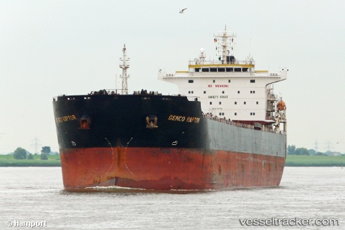
Vessel profile: YANGTZE SELINDA is a Bulk Carrier with dimensions m x m.
This page combines live AIS, route history, probable destination signals, nearby traffic, and port activity for practical vessel monitoring.
The current position of vessel YANGTZE SELINDA is 31.59527 lat / 28.84268 lng. Updated: 2026-05-21 13:53:00 UTCNearest reference points:
- 28 nm N of Hamra
- 13 nm W of EL DEKHEILA
- Near EL DEKHEILA
Currently sailing under the flag of Panama ![]()
Details:
Live Vessel YANGTZE SELINDA Analytics (details, animations, etc.)
Recent AIS points (UTC):
2026-05-21 10:49:57 UTC · 31.59803, 28.83713 · SOG 0 kn · COG -1°2026-05-21 11:25:26 UTC · 31.59750, 28.83820 · SOG 0 kn · COG -1°
2026-05-21 13:07:45 UTC · 31.59595, 28.84132 · SOG 0 kn · COG -1°
2026-05-21 13:53:00 UTC · 31.59527, 28.84268 · SOG 0 kn · COG -1°