 ATLANTICA TRADER
Current Status
Where is the vessel?
ATLANTICA TRADER is currently in 17 nm NW of Anasuria, based on AIS data received about 15h ago.
Latest AIS update:
Current position: 57.47500° N, 0.48866° E (17 nm NW of Anasuria)
Average speed (last 7 days): Loading…
Average speed (last 30 days): Loading…
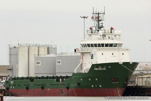
Vessel profile: ATLANTICA TRADER is a Offshore Supply Ship with dimensions m x m.
This page combines live AIS, route history, probable destination signals, nearby traffic, and port activity for practical vessel monitoring.
The current position of vessel ATLANTICA TRADER is 57.47500 lat / 0.48866 lng. Updated: 2026-05-20 05:43:14 UTCNearest reference points:
- 19 nm W of Curlew
- Near Alba Oil Field
- Near Peterhead
Currently sailing under the flag of Bahamas ![]()
Details:
Live Vessel ATLANTICA TRADER Analytics (details, animations, etc.)
Recent AIS points (UTC):
2026-05-20 05:43:14 UTC · 57.47500, 0.48866 · SOG 0.4 kn · COG 120°2026-05-20 05:43:14 UTC · 57.47500, 0.48866 · SOG 0.4 kn · COG 120°
2026-05-20 05:43:14 UTC · 57.47500, 0.48866 · SOG 0.4 kn · COG 120°
2026-05-20 05:43:14 UTC · 57.47500, 0.48866 · SOG 0.4 kn · COG 120°