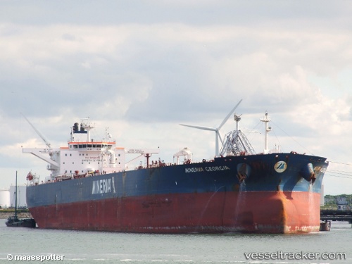
 MINERVA GEORGIA
Current Status
Where is the vessel?
MINERVA GEORGIA is currently in 96 nm SW of Methoni, based on AIS data received about 14h ago.
Latest AIS update:
Current position: 35.53879° N, 20.52199° E (96 nm SW of Methoni)
Average speed (last 7 days): Loading…
Average speed (last 30 days): Loading…
Vessel profile: MINERVA GEORGIA is a Crude Oil Tanker with dimensions m x m.
This page combines live AIS, route history, probable destination signals, nearby traffic, and port activity for practical vessel monitoring.
The current position of vessel MINERVA GEORGIA is 35.53879 lat / 20.52199 lng. Updated: 2026-05-22 04:10:14 UTCNearest reference points:
- 23 nm S of Methoni
- 85 nm W of Paleochora
- 71 nm N of Pinelands
Currently sailing under the flag of Liberia ![]()
Details:
Live Vessel MINERVA GEORGIA Analytics (details, animations, etc.)
Recent AIS points (UTC):
2026-05-22 01:26:15 UTC · 35.64638, 19.78862 · SOG 13.4 kn · COG 100°2026-05-22 02:09:43 UTC · 35.61509, 19.98542 · SOG 13.4 kn · COG 98°
2026-05-22 03:31:14 UTC · 35.56311, 20.34910 · SOG 13.1 kn · COG 101°
2026-05-22 04:10:14 UTC · 35.53879, 20.52199 · SOG 13.1 kn · COG 101°