 LILA MIAMI
Current Status
Where is the vessel?
LILA MIAMI is currently in 44 nm SE of Quintana, based on AIS data received about 15h ago.
Latest AIS update:
Current position: 28.47017° N, 94.63166° W (44 nm SE of Quintana)
Average speed (last 7 days): Loading…
Average speed (last 30 days): Loading…
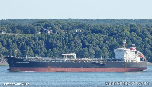
Vessel profile: LILA MIAMI is a Oil/Chemical Tanker with dimensions m x m.
This page combines live AIS, route history, probable destination signals, nearby traffic, and port activity for practical vessel monitoring.
The current position of vessel LILA MIAMI is 28.47017 lat / -94.63166 lng. Updated: 2026-05-21 16:08:00 UTCNearest reference points:
- 49 nm SE of Sheppard
- 39 nm S of Sheppard
- 56 nm SE of Quintana
Currently sailing under the flag of Liberia ![]()
Details:
Live Vessel LILA MIAMI Analytics (details, animations, etc.)
Recent AIS points (UTC):
2026-05-21 13:19:28 UTC · 28.47103, -94.63599 · SOG 0.1 kn · COG 125°2026-05-21 13:41:31 UTC · 28.47087, -94.63620 · SOG 0.1 kn · COG 116°
2026-05-21 15:32:08 UTC · 28.47142, -94.63512 · SOG 0.5 kn · COG 172°
2026-05-21 16:08:00 UTC · 28.47017, -94.63166 · SOG 0.1 kn · COG 269°