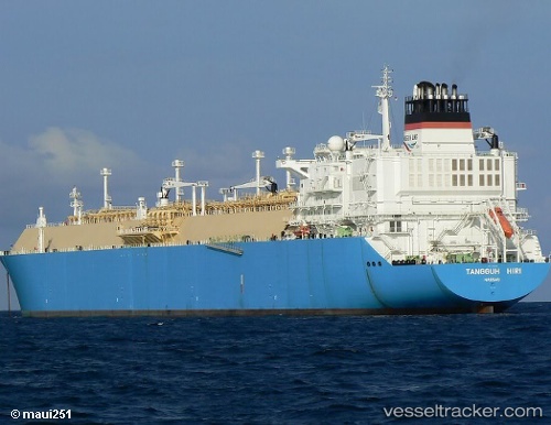
 Tangguh Hiri
Current Status
Where is the vessel?
Tangguh Hiri is currently in Near BUKOM ISLAND, based on AIS data received about 14h ago.
Latest AIS update:
Current position: 1.17326° N, 103.76622° E (Near BUKOM ISLAND)
Average speed (last 7 days): Loading…
Average speed (last 30 days): Loading…
Vessel profile: Tangguh Hiri is a Lng Tanker with dimensions 288m x 288m.
This page combines live AIS, route history, probable destination signals, nearby traffic, and port activity for practical vessel monitoring.
The current position of vessel Tangguh Hiri is 1.17326 lat / 103.76622 lng. Updated: 2026-05-19 05:33:10 UTCNearest reference points:
- Near BUKOM ISLAND
- Near Pasir Panjang Wharves
- Near Singapore
Currently sailing under the flag of Bahamas ![]()
Tangguh Hiri built in 2008 year
Deadweight:
84467 tDetails:
Live Vessel Tangguh Hiri Analytics (details, animations, etc.)
Recent AIS points (UTC):
2026-05-19 02:12:12 UTC · 1.17483, 103.76616 · SOG 0 kn · COG 91°2026-05-19 03:36:11 UTC · 1.17440, 103.76618 · SOG 0 kn · COG 86°
2026-05-19 04:06:15 UTC · 1.17442, 103.76610 · SOG 0 kn · COG 88°
2026-05-19 05:33:10 UTC · 1.17326, 103.76622 · SOG 0 kn · COG 80°