 DODO
DODO
Current Status
Where is the vessel?
DODO is currently in 38 nm SE of Perim Island, based on AIS data received about 16h ago.
Latest AIS update:
Current position: 12.36807° N, 43.99858° E (38 nm SE of Perim Island)
Average speed (last 7 days): Loading…
Average speed (last 30 days): Loading…
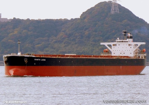
Vessel profile: DODO is a Bulk Carrier with dimensions m x m.
This page combines live AIS, route history, probable destination signals, nearby traffic, and port activity for practical vessel monitoring.
The current position of vessel DODO is 12.36807 lat / 43.99858 lng. Updated: 2026-05-21 22:19:45 UTCNearest reference points:
- Near Djibouti
Currently sailing under the flag of Panama ![]()
Details:
Live Vessel DODO Analytics (details, animations, etc.)
Recent AIS points (UTC):
2026-05-21 18:58:15 UTC · 12.10429, 44.65153 · SOG 12.5 kn · COG 294°2026-05-21 20:15:46 UTC · 12.20840, 44.39932 · SOG 12.3 kn · COG 292°
2026-05-21 22:05:54 UTC · 12.35062, 44.04407 · SOG 12.4 kn · COG 289°
2026-05-21 22:19:45 UTC · 12.36807, 43.99858 · SOG 12.5 kn · COG 289°