 FREE SAILING
Current Status
Where is the vessel?
FREE SAILING is currently in 228 nm E of MASIRAH, based on AIS data received about 14h ago.
Latest AIS update:
Current position: 20.29335° N, 62.89679° E (228 nm E of MASIRAH)
Average speed (last 7 days): Loading…
Average speed (last 30 days): Loading…
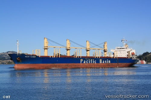
Vessel profile: FREE SAILING is a Bulk Carrier with dimensions m x m.
This page combines live AIS, route history, probable destination signals, nearby traffic, and port activity for practical vessel monitoring.
The current position of vessel FREE SAILING is 20.29335 lat / 62.89679 lng. Updated: 2026-05-20 04:59:51 UTCNearest reference points:
- 262 nm SE of SUR
- 224 nm E of SUR
- 231 nm SW of Keti Bandar
Currently sailing under the flag of Panama ![]()
Details:
Live Vessel FREE SAILING Analytics (details, animations, etc.)
Recent AIS points (UTC):
2026-05-20 01:09:02 UTC · 20.76060, 62.27471 · SOG 10.9 kn · COG 138°2026-05-20 02:04:04 UTC · 20.64068, 62.40970 · SOG 11.5 kn · COG -1°
2026-05-20 03:29:01 UTC · 20.47888, 62.65092 · SOG 11.6 kn · COG 130°
2026-05-20 04:59:51 UTC · 20.29335, 62.89679 · SOG 11.7 kn · COG 127°