 SPETSA
Current Status
Where is the vessel?
SPETSA is currently in 18 nm W of Al Mukha, based on AIS data received about 14h ago.
Latest AIS update:
Current position: 13.28167° N, 42.91500° E (18 nm W of Al Mukha)
Average speed (last 7 days): Loading…
Average speed (last 30 days): Loading…
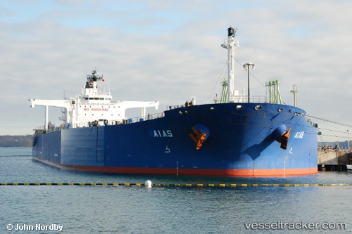
Vessel profile: SPETSA is a Crude Oil Tanker with dimensions m x m.
This page combines live AIS, route history, probable destination signals, nearby traffic, and port activity for practical vessel monitoring.
The current position of vessel SPETSA is 13.28167 lat / 42.91500 lng. Updated: 2026-05-18 23:46:11 UTCNearest reference points:
- Near Djibouti
Currently sailing under the flag of Liberia ![]()
Details:
Live Vessel SPETSA Analytics (details, animations, etc.)
Recent AIS points (UTC):
2026-05-18 19:46:09 UTC · 13.74833, 42.45667 · SOG 10 kn · COG -1°2026-05-18 22:02:19 UTC · 13.44929, 42.66808 · SOG 9.9 kn · COG 122°
2026-05-18 22:34:05 UTC · 13.40252, 42.74614 · SOG 10.1 kn · COG 123°
2026-05-18 23:46:11 UTC · 13.28167, 42.91500 · SOG 10 kn · COG -1°