 PATE
PATE
Current Status
Where is the vessel?
PATE is currently in 19 nm SW of Galle, based on AIS data received about 14h ago.
Latest AIS update:
Current position: 5.86668° N, 79.94545° E (19 nm SW of Galle)
Average speed (last 7 days): Loading…
Average speed (last 30 days): Loading…
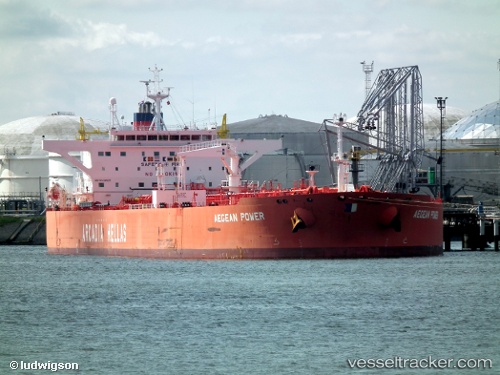
Vessel profile: PATE is a Crude Oil Tanker with dimensions m x m.
This page combines live AIS, route history, probable destination signals, nearby traffic, and port activity for practical vessel monitoring.
The current position of vessel PATE is 5.86668 lat / 79.94545 lng. Updated: 2026-05-20 06:20:47 UTCNearest reference points:
- 19 nm SW of Bataduwa
- 38 nm SW of Galle
- 15 nm S of Koggala
Currently sailing under the flag of Sierra Leone ![]()
Details:
Live Vessel PATE Analytics (details, animations, etc.)
Recent AIS points (UTC):
2026-05-20 02:32:37 UTC · 5.79495, 80.64098 · SOG 10.4 kn · COG 265°2026-05-20 03:22:06 UTC · 5.78383, 80.49432 · SOG 10.9 kn · COG 266°
2026-05-20 04:10:16 UTC · 5.78310, 80.34438 · SOG 11 kn · COG 277°
2026-05-20 06:20:47 UTC · 5.86668, 79.94545 · SOG 11.4 kn · COG 286°