 GINGA MAYA
Current Status
Where is the vessel?
GINGA MAYA is currently in Near Huachipato, based on AIS data received about 14h ago.
Latest AIS update:
Current position: 36.74035° S, 73.13125° W (Near Huachipato)
Average speed (last 7 days): Loading…
Average speed (last 30 days): Loading…
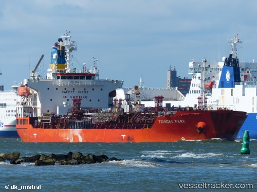
Vessel profile: GINGA MAYA is a Oil/Chemical Tanker with dimensions m x m.
This page combines live AIS, route history, probable destination signals, nearby traffic, and port activity for practical vessel monitoring.
The current position of vessel GINGA MAYA is -36.74035 lat / -73.13125 lng. Updated: 2026-05-20 21:54:10 UTCNearest reference points:
- Near Arauco
- 28 nm W of Pichilemu
Currently sailing under the flag of Singapore ![]()
Details:
Live Vessel GINGA MAYA Analytics (details, animations, etc.)
Recent AIS points (UTC):
2026-05-20 16:43:08 UTC · -36.61395, -73.20053 · SOG 11.9 kn · COG 231°2026-05-20 17:53:58 UTC · -36.72174, -73.19271 · SOG 4.9 kn · COG 128°
2026-05-20 19:08:56 UTC · -36.74038, -73.13127 · SOG 0 kn · COG 289°
2026-05-20 21:54:10 UTC · -36.74035, -73.13125 · SOG 0 kn · COG 288°