 LM ARES
Current Status
Where is the vessel?
LM ARES is currently in 124 nm N of Adventure, based on AIS data received about 15h ago.
Latest AIS update:
Current position: 9.13833° N, 58.75789° W (124 nm N of Adventure)
Average speed (last 7 days): Loading…
Average speed (last 30 days): Loading…
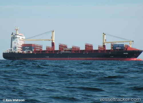
Vessel profile: LM ARES is a Container Ship with dimensions m x m.
This page combines live AIS, route history, probable destination signals, nearby traffic, and port activity for practical vessel monitoring.
The current position of vessel LM ARES is 9.13833 lat / -58.75789 lng. Updated: 2026-05-21 22:35:08 UTCNearest reference points:
- 57 nm NE of Adventure
- 16 nm E of Galeota Point
Currently sailing under the flag of Liberia ![]()
Details:
Live Vessel LM ARES Analytics (details, animations, etc.)
Recent AIS points (UTC):
2026-05-21 19:16:50 UTC · 8.67723, -58.31267 · SOG 11.9 kn · COG 317°2026-05-21 19:16:50 UTC · 8.67723, -58.31267 · SOG 11.9 kn · COG 317°
2026-05-21 21:59:29 UTC · 9.05753, -58.68357 · SOG 11.1 kn · COG 319°
2026-05-21 22:35:08 UTC · 9.13833, -58.75789 · SOG 10.7 kn · COG 316°