Venlo
Current StatusWhere is the vessel?
Venlo is currently in 119 nm NW of Santa Lucia, based on AIS data received about 14h ago.
Latest AIS update:
Current position: 24.34211° N, 85.18338° W (119 nm NW of Santa Lucia)
Average speed (last 7 days): Loading…
Average speed (last 30 days): Loading…
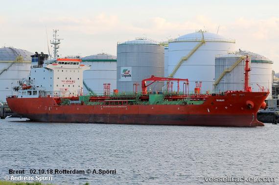
Vessel profile: Venlo is a Chemical Oil Products Tanker with dimensions 20m x 128m.
This page combines live AIS, route history, probable destination signals, nearby traffic, and port activity for practical vessel monitoring.
The current position of vessel Venlo is 24.34211 lat / -85.18338 lng. Updated: 2026-05-22 09:41:39 UTCNearest reference points:
- 14 nm W of Florida Straits
- 78 nm SW of Boca Grande
- 40 nm S of Florida Straits
Details:
Live Vessel Venlo Analytics (details, animations, etc.)
Recent AIS points (UTC):
2026-05-22 07:22:56 UTC · 24.55046, -85.65537 · SOG 12.6 kn · COG -1°2026-05-22 07:43:58 UTC · 24.51942, -85.58113 · SOG 12.6 kn · COG -1°
2026-05-22 09:41:39 UTC · 24.34211, -85.18338 · SOG 12.8 kn · COG -1°
2026-05-22 09:41:39 UTC · 24.34211, -85.18338 · SOG 12.8 kn · COG -1°