 vesseltracker.com
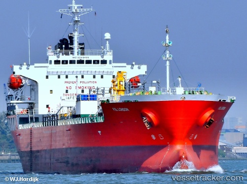
 MULAN
MULAN
Current Status
Where is the vessel?
MULAN is currently in 199 nm W of Veraval, based on AIS data received about 14h ago.
Latest AIS update:
Current position: 19.64489° N, 67.08480° E (199 nm W of Veraval)
Average speed (last 7 days): Loading…
Average speed (last 30 days): Loading…
Vessel profile: MULAN is a Oil/Chemical Tanker with dimensions m x m.
This page combines live AIS, route history, probable destination signals, nearby traffic, and port activity for practical vessel monitoring.
The current position of vessel MULAN is 19.64489 lat / 67.08480 lng. Updated: 2026-05-18 07:54:04 UTCNearest reference points:
- 231 nm SW of Keti Bandar
- 54 nm S of Positra
- 49 nm S of Positra
Currently sailing under the flag of Barbados ![]()
Details:
Live Vessel MULAN Analytics (details, animations, etc.)
Recent AIS points (UTC):
2026-05-18 04:03:15 UTC · 19.64365, 67.02394 · SOG 1.3 kn · COG -1°2026-05-18 04:03:15 UTC · 19.64365, 67.02394 · SOG 1.3 kn · COG -1°
2026-05-18 05:20:35 UTC · 19.64592, 67.04208 · SOG 0.9 kn · COG -1°
2026-05-18 07:54:04 UTC · 19.64489, 67.08480 · SOG 1.1 kn · COG -1°