 VIET THUAN 80 06
Current Status
Where is the vessel?
VIET THUAN 80 06 is currently in 74 nm SE of Muara Pantai, based on AIS data received about 14h ago.
Latest AIS update:
Current position: 1.17833° N, 119.08500° E (74 nm SE of Muara Pantai)
Average speed (last 7 days): Loading…
Average speed (last 30 days): Loading…
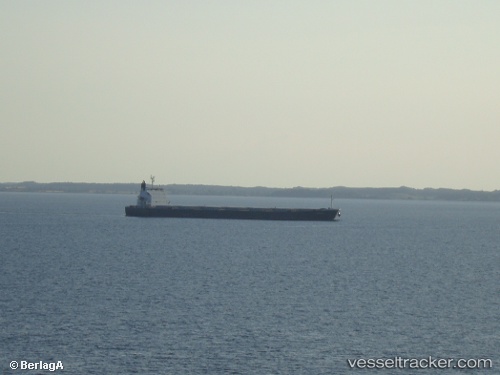
Vessel profile: VIET THUAN 80 06 is a Bulk Carrier with dimensions m x m.
This page combines live AIS, route history, probable destination signals, nearby traffic, and port activity for practical vessel monitoring.
The current position of vessel VIET THUAN 80 06 is 1.17833 lat / 119.08500 lng. Updated: 2026-05-19 03:35:00 UTCNearest reference points:
- 69 nm E of Kaliorang
- 81 nm E of Muara Pantai
- 29 nm W of Labuanbajo
Currently sailing under the flag of Panama ![]()
Details:
Live Vessel VIET THUAN 80 06 Analytics (details, animations, etc.)
Recent AIS points (UTC):
2026-05-19 00:07:53 UTC · 1.92500, 119.18833 · SOG 12 kn · COG -1°2026-05-19 02:05:01 UTC · 1.49833, 119.13167 · SOG 13 kn · COG -1°
2026-05-19 02:05:01 UTC · 1.49833, 119.13167 · SOG 13 kn · COG -1°
2026-05-19 03:35:00 UTC · 1.17833, 119.08500 · SOG 12 kn · COG -1°