 EKATERINA
Current Status
Where is the vessel?
EKATERINA is currently in 63 nm SW of Jeddah, based on AIS data received about 14h ago.
Latest AIS update:
Current position: 20.93965° N, 38.16572° E (63 nm SW of Jeddah)
Average speed (last 7 days): Loading…
Average speed (last 30 days): Loading…
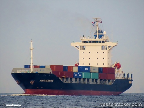
Vessel profile: EKATERINA is a Container Ship with dimensions m x m.
This page combines live AIS, route history, probable destination signals, nearby traffic, and port activity for practical vessel monitoring.
The current position of vessel EKATERINA is 20.93965 lat / 38.16572 lng. Updated: 2026-05-21 17:51:50 UTCNearest reference points:
- 64 nm W of Tusdeer Free Zone
- 67 nm W of Tusdeer Free Zone
- 10 nm SW of Jeddah
Currently sailing under the flag of Sierra Leone ![]()
Details:
Live Vessel EKATERINA Analytics (details, animations, etc.)
Recent AIS points (UTC):
2026-05-21 13:54:40 UTC · 20.26592, 38.51507 · SOG 11.4 kn · COG 333°2026-05-21 16:15:30 UTC · 20.66330, 38.30100 · SOG 11.2 kn · COG 337°
2026-05-21 16:25:11 UTC · 20.69065, 38.28708 · SOG 11.1 kn · COG 337°
2026-05-21 17:51:50 UTC · 20.93965, 38.16572 · SOG 11.4 kn · COG 333°