 HC ENERGY
Current Status
Where is the vessel?
HC ENERGY is currently in 22 nm SE of Okao, based on AIS data received about 16h ago.
Latest AIS update:
Current position: 4.23968° S, 116.36265° E (22 nm SE of Okao)
Average speed (last 7 days): Loading…
Average speed (last 30 days): Loading…
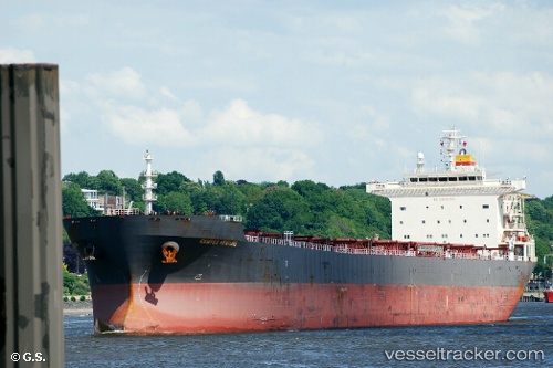
Vessel profile: HC ENERGY is a Bulk Carrier with dimensions 225m x 225m.
This page combines live AIS, route history, probable destination signals, nearby traffic, and port activity for practical vessel monitoring.
The current position of vessel HC ENERGY is -4.23968 lat / 116.36265 lng. Updated: 2026-05-20 18:43:14 UTCNearest reference points:
- 12 nm SE of Bunati
- Near Bunati
- 70 nm S of MEKAR PUTIH
Currently sailing under the flag of Liberia ![]()
HC ENERGY built in 2006 year
Deadweight:
73594 tDetails:
Live Vessel HC ENERGY Analytics (details, animations, etc.)
Recent AIS points (UTC):
2026-05-20 15:32:48 UTC · -3.78373, 116.74213 · SOG 11.4 kn · COG 217°2026-05-20 16:09:08 UTC · -3.87525, 116.67045 · SOG 11.5 kn · COG 217°
2026-05-20 16:09:08 UTC · -3.87525, 116.67045 · SOG 11.5 kn · COG 217°
2026-05-20 18:43:14 UTC · -4.23968, 116.36265 · SOG 11.7 kn · COG 218°